
Software Product
Geospatial Platform
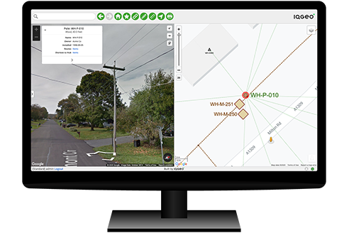
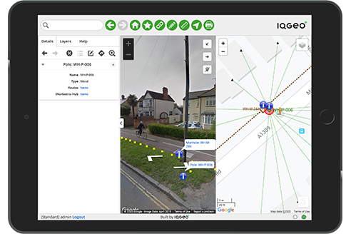
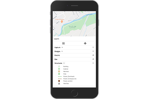
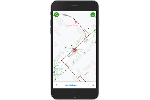
A proven geospatial platform providing situational awareness, mobility, and collaboration for telecom and utility operators. Share a common view of network data across teams, work online/offline, improve data quality with digital updates.
Powerful, simple, and flexible
The IQGeo Platform applies the simplicity of Google Maps to enterprise processes. Its mobile-first architecture empowers field teams to create and maintain an accurate view of complex network assets.
Enterprise-scale mobility
Proven enterprise-scale data sync and app updates to thousands of mobile devices without compromising performance. Field staff can run the IQGeo Platform on any iOS, Android or Windows device, online or offline.
Professional integration framework
Securely connects office and field staff to simple task and role-specific views of your critical enterprise systems, supporting data feeds from millions of smart IoT network devices.
App builder and developer tools
Easily set up and deploy new, specific business process applications. The development environment and APIs also give developers everything they need to build more complex, upgradable applications.
Watch the feature videos to see how the IQGeo Platform will transform your network operations
Watch the feature videos to see how the IQGeo Platform will transform your network operations.
For full product details, see more at the official IQGeo page
Real Impact for Network Operators
Join leading telecom and utility operators who are transforming their operations
Utilities and telecoms worldwide
Platform uptime guarantee
Faster application development